Leica Ballistics App
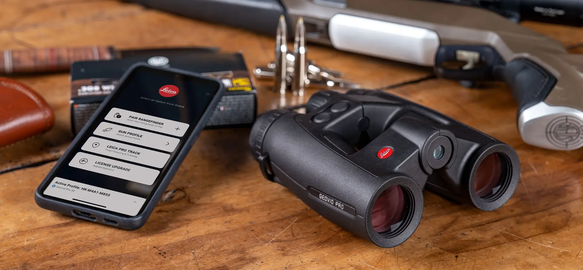
Download App here:
Introduction to the Leica Ballistics App
Discover our tutorials and learn about the features of the Ballistics App in detail.
Leica Ballistics App

Introduction to the Leica Ballistics App
Discover our tutorials and learn about the features of the Ballistics App in detail.
1. Create, manage, store
Simply set up your Leica Rangefinder and create, manage, and store your specific ballistics profiles using the Leica Ballistics App – based on the precise solution supplied by Applied Ballistics®.
2. Connect
To connect your Leica Geovid Pro or .COM model to the Leica Ballistics App, simply select the Bluetooth® function (BT) in the menu.
3. Transfer
Transfer your settings and personal ballistics profiles to your Leica Rangefinder.
4. Calculate
Thanks to the integrated Applied Ballistics® software, you get highly accurate results for your Geovid Pro based on the measured range, the equivalent horizontal range, and ambient data such as temperature, air pressure, and angle.
All .COM models continue to use the Leica ABC calculation (on board) for real-time calculation.
5. Track
Thanks to the new, revolutionary LPT™ (Leica ProTrack) function, you receive the exact GPS coordinates based on the last measured distance and are guided to the location of the target (Geovid Pro models only).