
The Ultimate High-Performance Hunting Binoculars with Innovative Technology
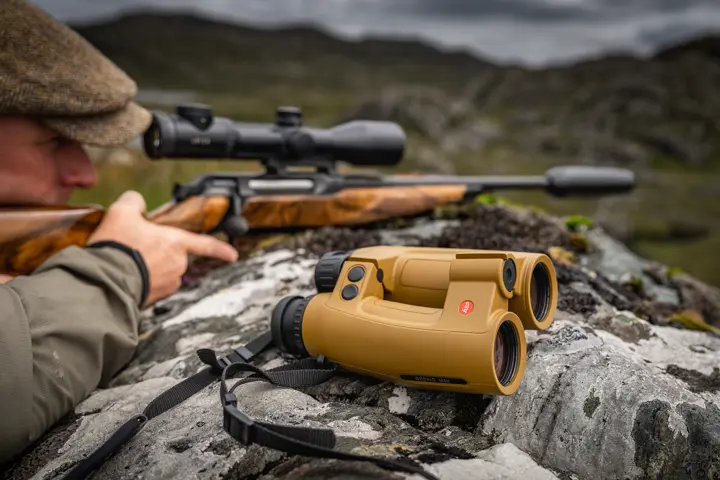
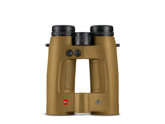
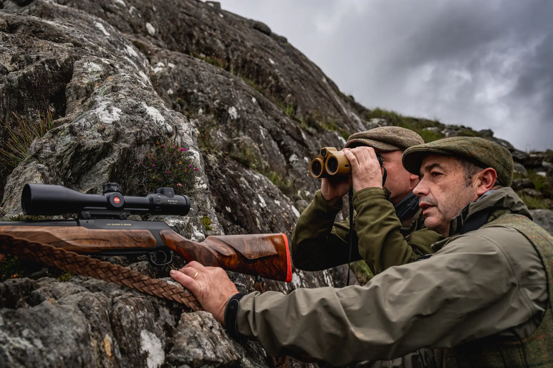
The Leica Geovid Max 10x42 provides clarity at a distance. Its extremely fast and highly precise laser rangefinding ranges trees up to 4,200 metres and highly reflective targets beyond 6,600 metres – up to 2,900 metres, the result is available in just 0.3 seconds. Brilliant high-performance optics, Applied Ballistics Professional® and precise terrain navigation provide the basis for reliable target identification and informed decisions. The individually configurable Active Matrix microLED display presents the essential information clearly in the field of view – from the measured value and shot correction to Shot Probability Analysis. In the distinctive Flat Dark Earth colour, the Geovid Max is instantly recognisable as the high-end model in the Geovid family. High-performance hunting binoculars for open terrain, demanding mountain hunts and precise shooting at long distances.




Active Matrix microLED Display
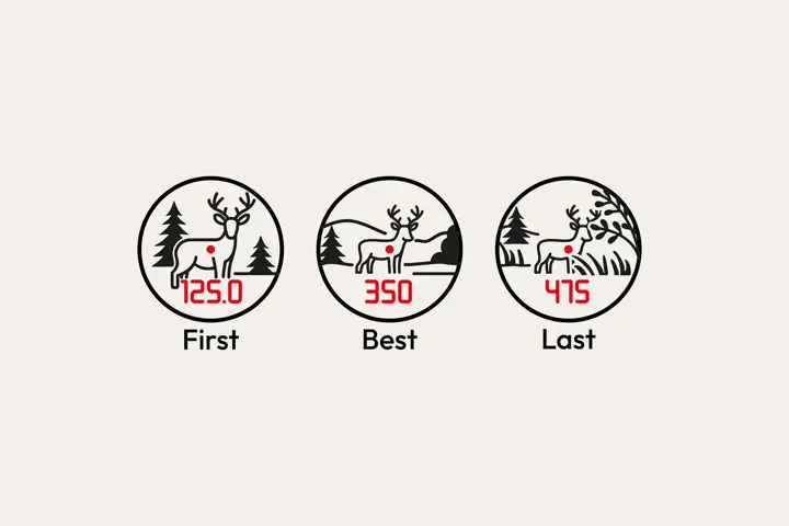
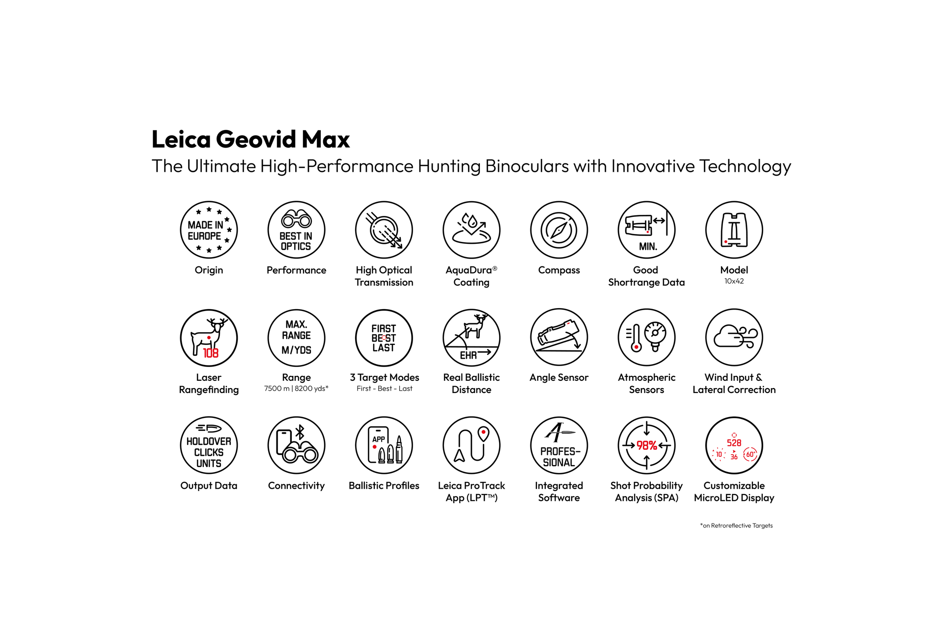
In bright sunlight, a measured value must be immediately and clearly legible. The exceptionally bright Active Matrix microLED display of the Geovid Max with 640 × 480 pixels enables a clear graphical presentation of all relevant measurement and ballistic data. Distance, shot correction, Shot Probability Analysis, wind data and compass information are displayed clearly and directly in the field of view. Additional symbols provide information including measuring and target mode, battery status, unit of measurement and Bluetooth® connection.
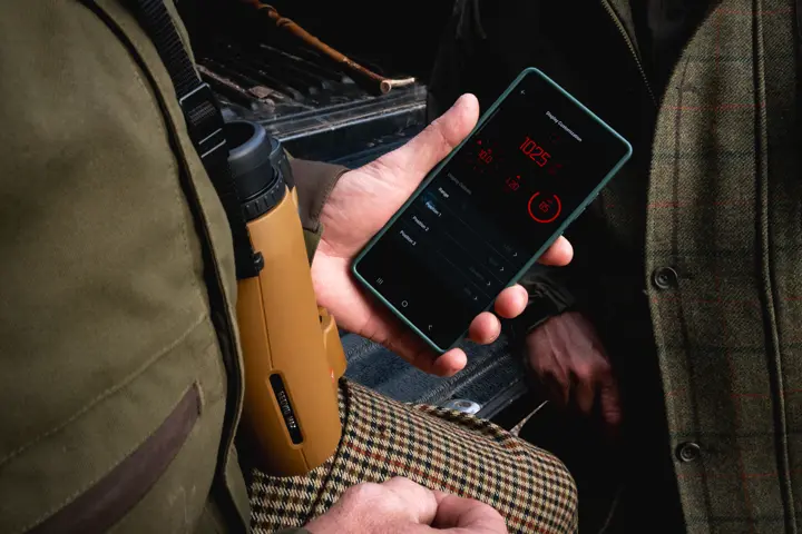
The display can be precisely tailored to personal requirements via the Leica Ballistics App. Users can individually define which information is shown and how it is arranged in the field of view. Elements that are not required can be hidden, keeping the view uncluttered and allowing full concentration on the respective hunting or shooting situation. This makes the essential values just as quick to read in bright sunlight as they are at dusk – without compromising the brilliant image quality of the hunting binoculars.
Applied Ballistics Professional®
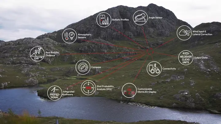
With the Leica Geovid Max, the measured distance is immediately converted into a precise ballistic solution. The integrated Applied Ballistics Professional® software calculates elevation and windage correction values up to the maximum measuring range. Air pressure, temperature and inclination angle are automatically recorded by the integrated sensors and incorporated directly into the calculation. Personal ballistic profiles can be conveniently created, managed and transferred to the hunting binoculars via the Leica Ballistics App. In addition to an extensive database of factory ammunition, custom loads can also be stored. For calculations that reflect real-world conditions as closely as possible, Applied Ballistics Professional® takes into account factors including Coriolis effect, Spin Drift, AB Custom Drag Models and Sight Scale Factor. Depending on the preferred workflow, shot correction can be output as a click value, holdover or linear correction value. Windage correction is also available immediately. This keeps all essential data in view without interrupting the hunting or shooting situation for additional calculations.
Leica Ecosystem
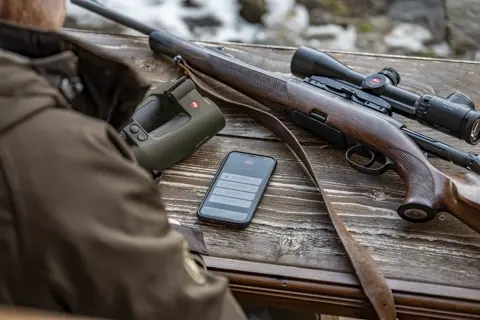
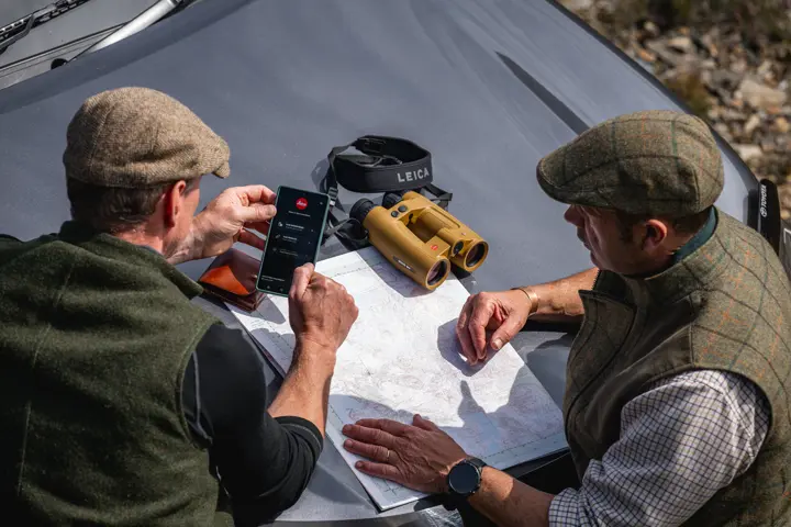
The Leica Ballistics App is the central interface of the Leica Ecosystem. It can be used to manage personal ballistic profiles, individually configure the Active Matrix microLED display and remotely operate the Leica Geovid Max. Settings, environmental data and the active ballistic profile are synchronised in real time when connected. Compatible Kestrel® devices and Garmin® watches add further information from the field. BaseMap® Pro enables automatic synchronisation of measured target points and position data. Leica ProTrack (LPT™) then guides the user precisely to the previously measured terrain point. In this way, the Leica Ecosystem combines observation, rangefinding, ballistics, wind data and navigation in one seamless workflow. Fewer device changes and immediately available information leave more time for what matters: assessing the situation reliably and making an informed decision.